Geospatial Innovation for Conservation
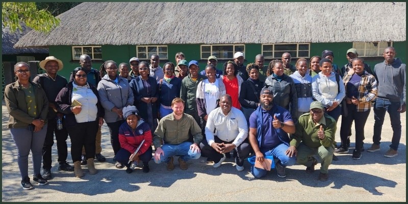
The Association for Tourism Hwange (ATH) participated in the two-day online Geospatial Land-Use Planning Toolkit Training, held on 27-28 June 2025 at Hwange Main Camp, and hosted by M.A.P Scientific Services (MAPSS). This landmark training is part of a broader initiative spearheaded by the International Fund for Animal Welfare (IFAW) to strengthen landscape-level conservation and sustainable land management across the Greater Hwange Landscape.
As an organisation that exists to showcase and protect the integrity of Hwange National Park’s surrounding ecosystems, water bodies, cultural sites and communities, ATH recognises the crucial role geospatial technology plays in advancing both conservation and responsible tourism.
The workshop introduced participants to the new Online Geospatial Land-Use Planning Toolkit - a dynamic, data-driven platform designed to support evidence-based planning, monitoring, and collaboration.
Key objectives included:
- Understanding the toolkit’s purpose within broader landscape planning efforts.
- Exploring dashboard interfaces and web applications.
- Beginning hands-on training in data access, navigation and feature use.
- Establishing protocols for user access and role management.

Toolkit Components Introduced:
- Interactive Dashboards for key metrics including land-cover change, elephant habitat suitability and ecological connectivity
- Data Explorer Application for overlaying and extracting spatial data
- Geospatial Data Hub, a central repository for biodiversity, hydrology, infrastructure, and land-use datasets.
- ArcGIS Tools, including Survey123 for field-based data collection and map creation.
Landscape Overview Dashboard - this session focused on:
- Navigating layers and interpreting regional land-use patterns.
- Accessing indicators critical for ecological and tourism management.
Land Cover Change Dashboard - users learned how to
- Compare historical and current land cover.
- Visualise modeled future change scenarios.
- Identify emerging threats like habitat encroachment.
- Habitat Suitability & Ecological Connectivity - participants explored
- Habitat quality data for species such as elephants
- Corridor modeling for maintaining wildlife movement
- Integrating conservation zones and movement patterns.

Dashboard Exercises - each participant:
- Explored regions of interest within the Greater Hwange area
- Extracted spatial data relevant to their work
- Ran sample queries and generated visual reports.
Benefits for ATH
Data-Driven Advocacy - with spatial evidence in hand, ATH can advocate more effectively for policies and investment that uphold ecological health and tourism value.
Proactive Conservation Planning - Early identification of land-use threats allows for timely, targeted responses—whether in wildlife corridors or around cultural heritage sites.
Enhanced Communication - Powerful visuals help ATH tell compelling conservation stories to tourists, partners, and donors—reinforcing the region’s natural and cultural value.
Strategic Tourism Development - Tourism activities can now be better aligned with conservation priorities, ensuring that development is both sustainable and respectful of heritage.
Collaborative Engagement